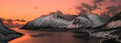
Halti – a multiday wilderness trek. One of the most impressive ways to arrive to Norway is a journey through a large wilderness area crossing the border at Finland’s highest peak and continuing down to Lyngenfjord.
Route description
The route is part of the Arctic Trail, an 800 km long trail which runs from Norway and Finland to Sweden. There is active reindeer herding in the area on both Finnish and Norwegian sides and encounters with reindeer is very common. It’s good to remember not to disturb the reindeer, especially when they are with their young early in the summer. In the autumn, the males can be protective about their herd.
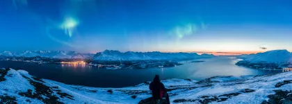
Along the route, you can find many sub-arctic plants, both common and rare ones, migrating birds, birds of prey and many foxes. There are some large predators in the area too, but it is very rare to spot one even from a distance. The major attraction along the route is by far the remote arctic wilderness with open landscapes, steep cliffs and gorges. Once you get to the Norwegian side, the Lyngen Alps mountains become visible in the far distance.
Book your next hiking trip to Halti with Adventure by Design.
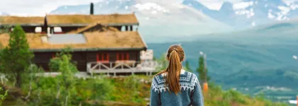
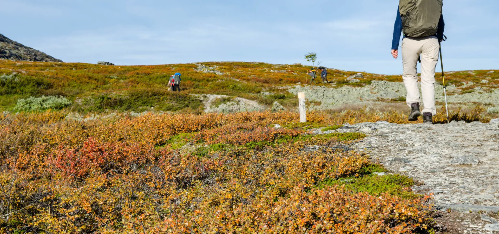
Start your hike from Kilpisjärvi village in Finland. In summertime, there is a daily bus connection from Tromso and Rovaniemi to Kilpisjärvi. The best place to start the trail is at the Nature Centre at the southern end of the village. This is where you collect the keys to the reservation huts, if you have booked them.This 60 kilometre hike requires good hiking skills and fitness, there are no villages, roads or services along the route. The route is well marked, and the terrain is easy for most part. The final climb and decent to Norway are more demanding on rocky, steeper slopes. There are both open and reservation huts with basic services, and guided tours available for those with less experience.
- Kilpisjärvi-Saarijärvi 11 km
The first kilometer to Tsahkaljärvi lake is a pleasant walk up the hill on a new trail. You will soon get over the tree line and get a taste of the open tundra landscapes. At the top, don’t forget to stop to look around. Behind you, the village and lake Kilpisjärvi are nestled between the Swedish and Norwegian mountains. Right next to you rises the mighty Saana, probably the most famous mountain in Finland.
Passing the lake Tsahkaljärvi, you will get to the first crossing of the many rivers and streams on this trail. Many crossings have good sturdy bridges, but on the smaller streams you will need to pick a suitable path. The trail follows the rolling landscapes and easily recognizable shapes of Finnish fells.
Saarijärvi hut is visible from a distance, if the first hikers have already arrived, maybe you can even see smoke coming out from the chimney.
- Saarijärvi – Kuonjarjoki 8 km
On the north side of Lake Saarijärvi the trail enters Käsivarsi Wilderness Area. First, the trail follows the Finland – Norway state border, then it turns slowly to the right and follows the river valley between two fells. The water in the river is so clear, you can see the fish swimming. If you want to catch a fresh dinner, get your permits at the Nature Centre in Kilpisjärvi before departing.
Descending to the hut at the river Kuonjarjoki the first large cliffs come in view. The cliffs drop vertically from a height of 200 metres. At the foot of the cliffs there are great boulders, which have dislodged from the cliff walls. Kuonjarjoki hut has both open and reservation side.
This part of the route is open and flat. It is a good place to observe the typical shape of the fells in the region. On your left, you see the steep south and western slopes of the fells, whereas on the right side, you see the much more gentle northern and eastern slopes of the fells. The landscape was shaped during the last ice age and retreating glaciers about 8000 years ago.
- Kuonjarjoki – Meekonjärvi 9 km
Before arriving to Meekonjärvi, you pass the Saivaara fell. Its slopes are steep, and it is easiest accessible from the eastern slopes. At the top, in addition to the breathtaking views, you find a memory plate of former Finnish president Urho Kekkonen, who spend many weeks during his presidential term skiing here with some important state guests. If you have the time to make this detour, the views from the top are worth the extra walk. It’s a wonderful place to get an overview of the lakes, streams and fells of the region.
Arriving to Meekonjärvi is like coming to a little arctic oasis. The hut site is in a green valley, which gives a nice soft break for your feet after the rocky paths. There are several huts here, the open and reservation huts are well marked. If you are heading to the reservation hut, cross the bridge over Bierfejohka river. Especially early in the summer when the waters are high, the small rapids are a popular photo location.
Across the lake, you can see the steep Annjalonji cliffs. It’s a nature reserve and walking there is restricted. There are several red listed species found growing and living on the cliffs.
- Meekonjärvi – Pitsusjärvi 12 km
From Meekonjärvi the trail continues between the river and the steep slopes of Meekonvaara. The Pitsusjoki river gorge is beautiful and Pitsusköngäs waterfalls are one of the biggest in Finland. In the open landscape, you can see the Pitsusjärvi open and reservation huts are visible from afar.
If you continue along the Arctic Trail, you will take the turn towards Somasjärvi here. To continue towards Halti, you keep on the trails.
Read more about Halti - Finland’s highest peak
-
Pitsusjärvi – Halti 11 km
You will get the first sights of Halti soon after leaving from Pitsusjärvi huts. The trail runs on rocky terrain, and the stream has small rock terraces along the way. The orange rocks are characteristic to this part of the region. After the Halti huts, there are not many streams, so make sure you fill the water bottles before starting the assent.
The route separates to the Halti cabins (open and reservation). If you aren’t planning on staying the night here, just continue on the trail towards the peak. It’s rocky and steep and can be hard going. Keep one eye for the flowers, some rare ones like glacier buttercups Ranunculus glacialis grow on the slopes.
At the top, you have some of the most spectacular views over Finland. Make sure you write your name on the guest book you find in the metal box. The first guestbook was taken to Halti in 1930s by the first recreational hiking group, which consisted only of women. Since then, over 120, 000 people have visited the peak and written their name on the book.
- Down to Norway
Halti is Finland’s highest peak, but the mountain’s highest peak Raisduottarhaldi (1361m) is located in Norway.
The rocky trail is not well marked, and on bad weather the decent can be very difficult. The slope has large rocks you need to climb down, is slippery in rain, and winds often are quite strong here. If the cloud is low, it’s hard to see where the route goes, so take care if descending here.
On a clear day, it’s easy to see the lake Guolasjärvi. The views are stunning, open landscapes, sharp peaked mountains and a steep gorge. You can continue the hike down to Birtavarre or pre-arrange a transport from the parking place.
If you decide to continue your journey on foot, you will descend along the magnificient Kåfjordalen gorge and valley. Distance to Paulanhytta is about 14 km, which you can walk on a gravel road. 2 kms further down, make sure to stop at the Gorsabrua bridge over the 153 metre deep canoyn. On summertime, they also arrange bungee-jumping here. Further down, you pass the Ankerlia mining area before arriving to Birtavarre village (9km). There you can find both accommodation and grocery shops, and continue well rested by bus to Skibotn and onwards.


