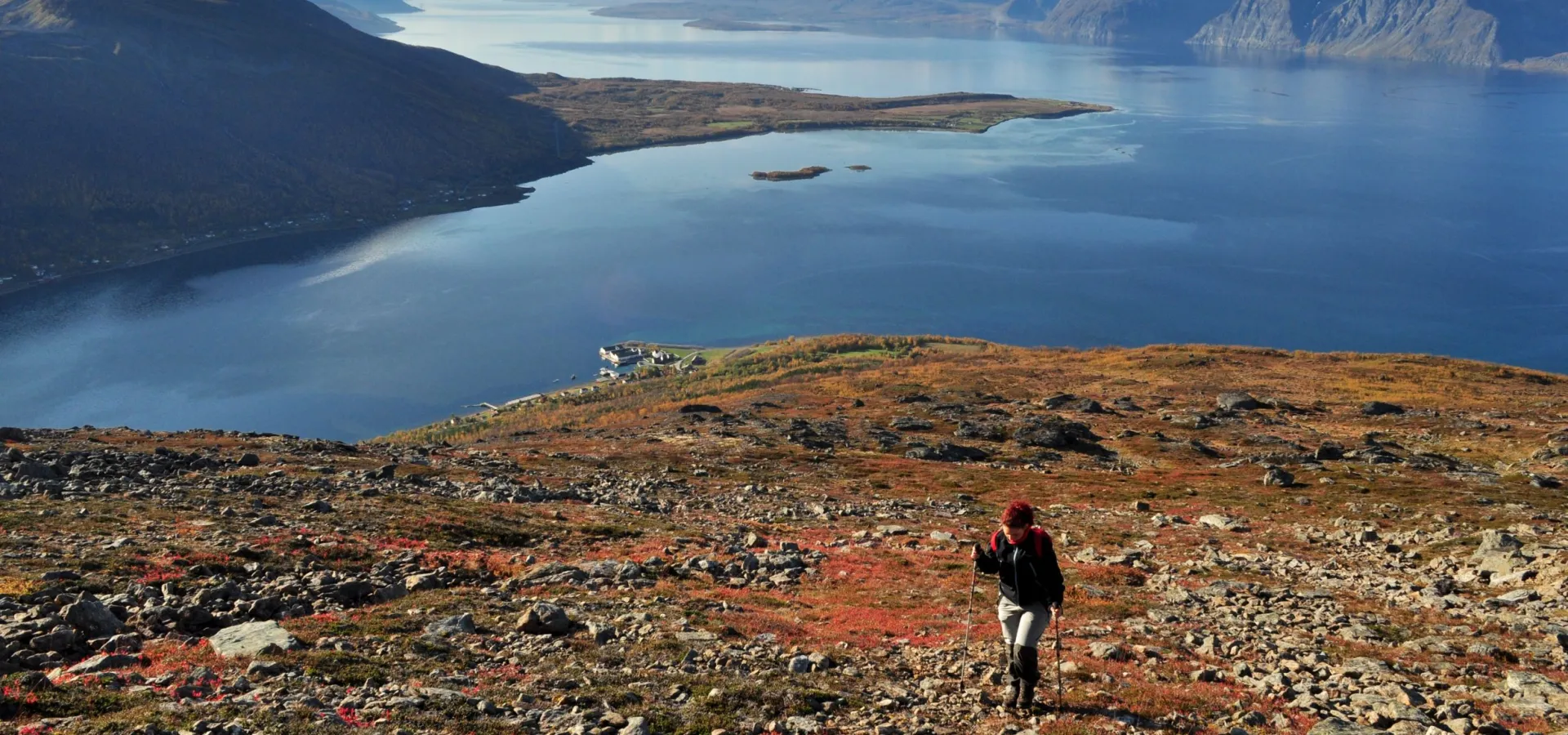
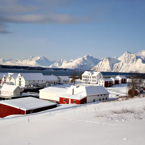
The hike to the summit of Uløytinden starts from Havnnes in the west of the island Uløya.
Hiking description
Havnnes is an historic 19th century trading post, which has been important for traffic and trade in the region for generations. The trading post is still in operation and was awarded the cultural heritage hallmark St. Olav’s Rose in 2017. To reach Havnnes, you must catch the ferry from Rotsund.
The route is in even but steep terrain, while the final part is scree. From the ferry landing at Havnnes, follow the road to Havnnes, then along the gravel road past the sports field and into the forest. There is one steep section in the forest secured with a rope. From there, follow the sign to “Aksla Vest”.
Above the treeline, you will walk in open mountain terrain with no clearly marked path. Follow the mountain ridge to the top. There are wonderful views of the Lyngen Alps and the Storfjord the whole way along the ridge.
You will reach the summit of Kjelvågtinden (1,104 m a.s.l.) first and can then decide if you will continue to Uløytinden (1,114 m a.s.l.). You will need to climb down a bit first before continuing up. The terrain between the peaks consists of large rocks and two overhanging snow ledges.
The first is east of Gappertind. Keep as close as possible to the large rock facing Havnnes when you cross the snow ledge. At the second one, you should keep as far west as possible, i.e. on the Gapperdal valley side. On the eastern side, there is a steep decline.
The “roof of Uløya” offers good views of Kvænangen and Loppa in the east and the islands in Karlsøy to the west. Follow the same route down again.
NB! The area is exposed.
Ferry information
You will find the ferry schedule at Tromskortet. An alternative is to leave your car in Rotsund and take your bike on the ferry. Note that the ferry is free for passengers/bikes.
Remember to check the ferry times, as departures are infrequent.


